Overview
Brahmatal is a winter and early-spring trek in Uttarakhand’s Chamoli district, starting from the village of Lohajung. The route climbs through oak and rhododendron forest to the frozen lakes at Bekaltal and Brahmatal, then to the Jhandi Top ridge and a summit of roughly 3,750 m. It is a compact trek, four days on foot, and is popular as a snow alternative to Kedarkantha.
Operators run slightly different versions of the route. Some camp at Bekaltal and others at Gujreni and Tilandi, so campsite names and altitudes vary between guides. The ridge, the lakes and the summit are the same.
Why do this trek?
- Snow with moderate effort. Snow usually arrives from mid to late December and stays through January and February, with no technical climbing.
- Frozen lakes and ridge walking. Bekaltal and Brahmatal sit in forest clearings, and the Jhandi Top ridge gives open views.
- Spring rhododendrons. Late March and April add flowering forest to the snow line.
- Short stages. Most trekking days are 4 to 8 km.
Who is it for?
First-time Himalayan trekkers who can walk comfortably for 5 to 8 hours on the longer days, and returning trekkers who want a quieter winter route. Operators describe it as Easy to Moderate.
Who should think twice?
People who dislike very cold nights, those with heart, lung or neurological conditions (several operators ask for medical clearance for older trekkers), and anyone who needs mobile connectivity. There is no reliable network on the trail.
How we rate the difficulty
We rate Brahmatal Easy–Moderate using our difficulty method.
- Altitude: the summit is about 3,750 m and the highest camp about 3,100 to 3,260 m, depending on the campsite used.
- Effort: the longest days are the climb to Brahmatal over Jhandi Top (about 8 km, 7 to 8 hours in some itineraries) and the descent to Lohajung (10 to 11 km).
- Terrain: forest trail, snow and ice. Traction aids are commonly used; operators say microspikes and gaiters are provided where needed.
- Remoteness: no mobile network on the trail, and a long road transfer from Rishikesh.
- Cold: reported winter nights are about 0°C to −8°C.
Altitude and acclimatisation
We rate AMS risk low. Sleeping altitude rises gradually from Lohajung at about 2,300 m, with the highest camp near 3,100 to 3,260 m, and the 3,750 m summit is reached from that camp rather than slept at. Read our altitude sickness guide anyway, and tell your guide about headaches or nausea early.
Landscape
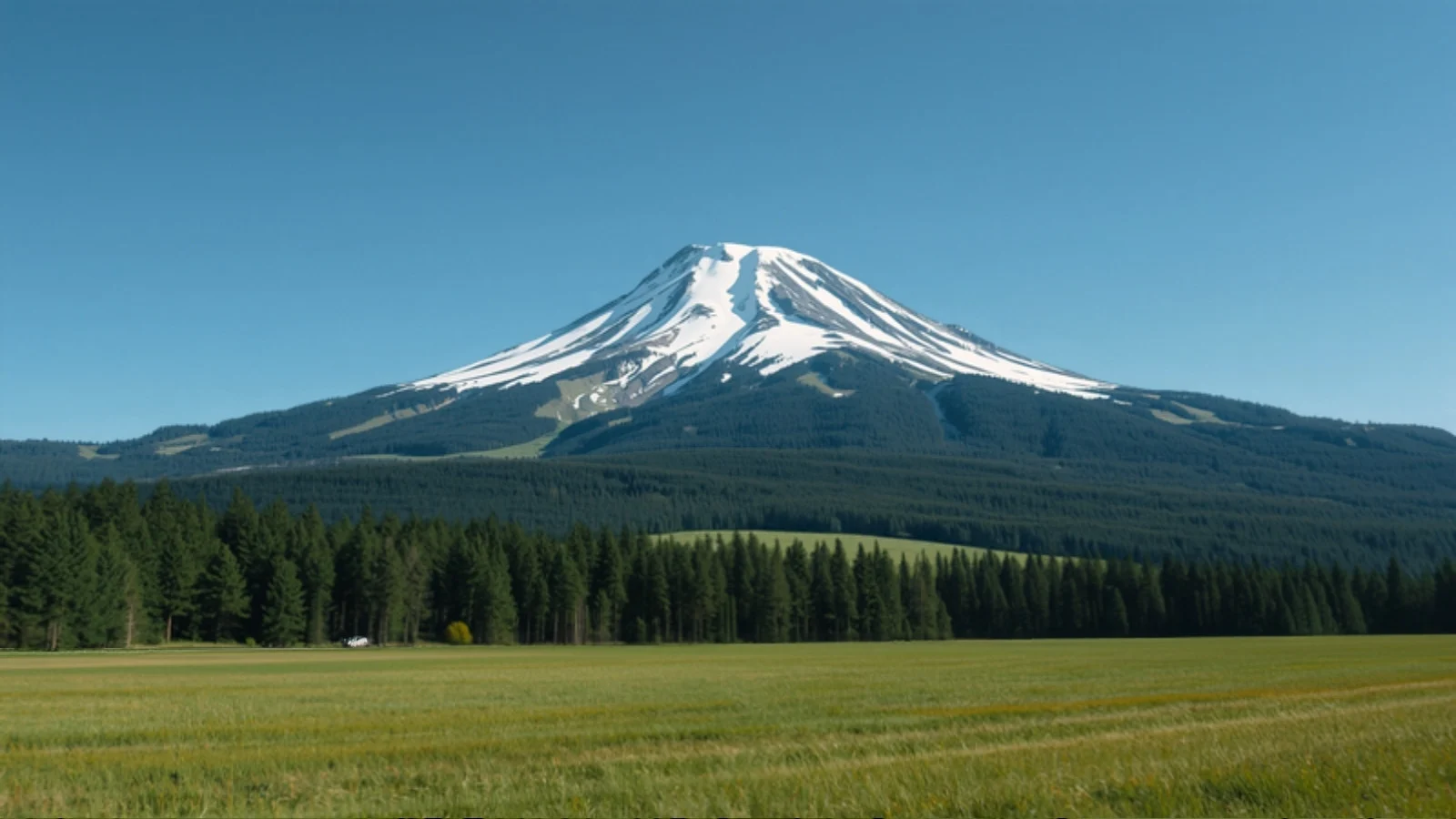
Oak and rhododendron forest, two lakes that freeze in winter, and a ridge from which the surrounding Garhwal ranges are visible on clear days.
Route variations
Published itineraries differ on campsites (Bekaltal, or Gujreni and Tilandi) and on whether the summit is climbed from camp or on the way down. Published trek distances range from about 24 km to 31 km, so we do not give a single figure.
Plan alongside other tools
Use Find My Trek or compare treks. For the season see December, January and February treks, or browse trekking in Uttarakhand.