Overview
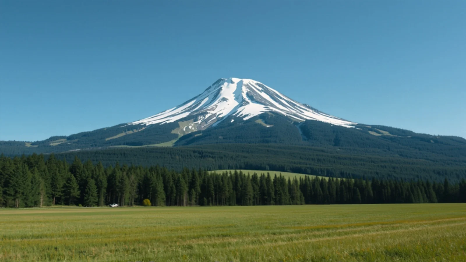
Kuari Pass is a high ridge in Chamoli district, Uttarakhand, reached from villages near Joshimath. The trek follows a forested ridge through Gulling and Khullara to Kuari Pass at about 3,815 m, where the Garhwal peaks are visible on clear days. It is often called the Curzon Trail and is one of the few Uttarakhand treks that works in both winter snow and spring bloom.
Itineraries differ. Some start at Dhak village and others at Tugasi, and some descend by the same route while others finish at Auli or Gorson Bugyal. Experienced trekkers sometimes add the Pangarchulla summit (about 4,550 m) from Khullara, which is a much harder day.
Why do this trek?
- Long ridge views. The route stays high along a ridge with open outlooks on clear days.
- Three seasons. Snow-covered in winter, rhododendron bloom in March and April, and clear skies from mid September.
- A real pass. The pass at roughly 3,815 m is a proper objective without technical climbing.
- Easy road access. The trek starts about an hour from Joshimath.
Who is it for?
Trekkers who have done a first Himalayan trek, or fit beginners who accept longer days. Published guides call it Easy to Moderate, with the Pangarchulla extension Moderate to Difficult.
Who should think twice?
Anyone who wants an undemanding first trek, anyone unprepared for sub-zero nights above about 3,000 m, and anyone planning to rely on Joshimath for services without checking local conditions first (see below).
How we rate the difficulty
We rate Kuari Pass Moderate using our difficulty method.
- Altitude: the pass is about 3,815 m and the highest camp is above 3,000 m.
- Effort: published guides put the total at about 33 to 35 km over four trekking days, with the pass day and the final descent each running 5 to 12 km or more depending on the itinerary.
- Terrain: forest trail, ridge and snow in the cold months. Microspikes are commonly needed on the upper trail in winter and early spring.
- Cold: reported nights at Khullara are around 0°C to −5°C even in warmer months, and lower in winter.
- Remoteness: long road transfers from Rishikesh and no confirmed mobile coverage on the trail.
Altitude and acclimatisation
We rate AMS risk low. Camps rise gradually from about 2,800 to 2,900 m at Gulling to about 3,100 to 3,350 m at Khullara, and the pass is a day trip from camp. See our altitude sickness guide.
Joshimath and Auli: check before you plan
Joshimath has had land subsidence since January 2023 and remains accessible for transit, and the Joshimath–Auli ropeway has been reported closed since that date. If your itinerary uses Auli or Joshimath, confirm the current situation with your operator.
Route variations
Camp altitudes differ between guides, for example Gulling at about 2,800 to 2,930 m and Khullara at about 3,100 to 3,350 m, so we do not plot an elevation profile for this trek. Total distance and stage lengths also vary.
Plan alongside other tools
Use Find My Trek or compare treks. For the season see March, April and October treks, or trekking in Uttarakhand.