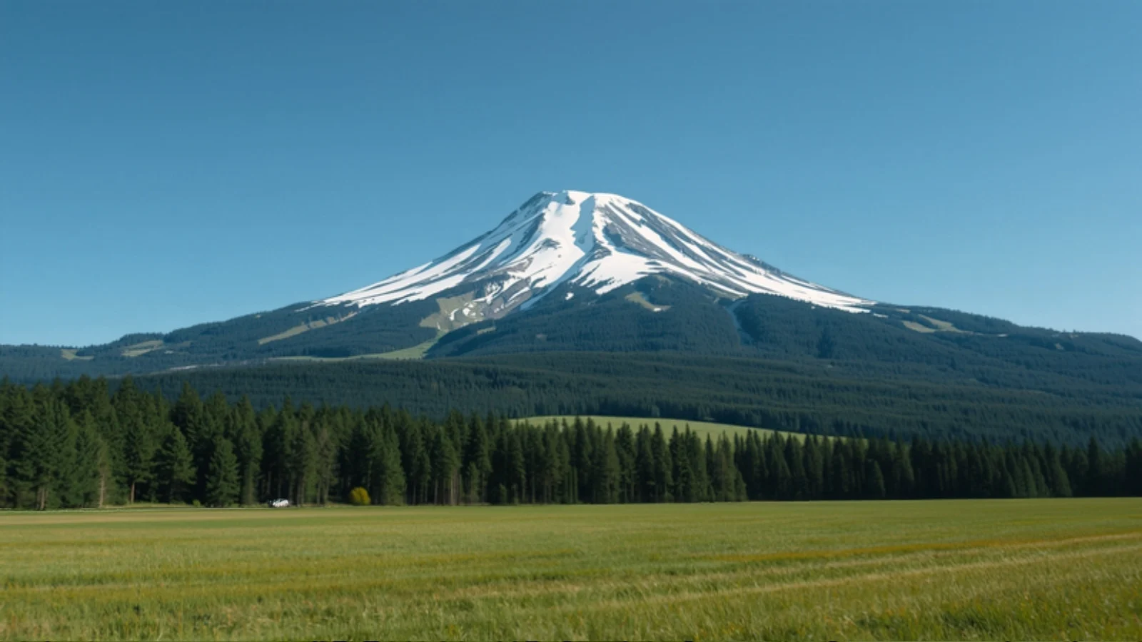
A high meadow with conifer forest below a jagged snow peak, an illustrative AI-generated image

Brahmatal Trek

Easy–Moderate · 6 days · 3,750 m · Dec–Apr

Difficulty
Easy–Moderate
Maximum altitude
3,750 m (12,303 ft)
Duration
6 days (4 on trail)
Best months
Dec–Apr
Snow
Dec–Feb
Base camp
Lohajung (road head and base village)
Road head
Lohajung
AMS risk
Low
Permit
Yes
Mobile network
None on trail

Trail status Status not verified

We have not been able to confirm the current access status from an official source. Check with the Forest Department or a local operator close to your dates.

Overview

Brahmatal is a winter and early-spring trek in Uttarakhand’s Chamoli district, starting from the village of Lohajung. The route climbs through oak and rhododendron forest to the frozen lakes at Bekaltal and Brahmatal, then to the Jhandi Top ridge and a summit of roughly 3,750 m. It is a compact trek, four days on foot, and is popular as a snow alternative to Kedarkantha.

Operators run slightly different versions of the route. Some camp at Bekaltal and others at Gujreni and Tilandi, so campsite names and altitudes vary between guides. The ridge, the lakes and the summit are the same.

Why do this trek?

  • Snow with moderate effort. Snow usually arrives from mid to late December and stays through January and February, with no technical climbing.
  • Frozen lakes and ridge walking. Bekaltal and Brahmatal sit in forest clearings, and the Jhandi Top ridge gives open views.
  • Spring rhododendrons. Late March and April add flowering forest to the snow line.
  • Short stages. Most trekking days are 4 to 8 km.

Who is it for?

First-time Himalayan trekkers who can walk comfortably for 5 to 8 hours on the longer days, and returning trekkers who want a quieter winter route. Operators describe it as Easy to Moderate.

Who should think twice?

People who dislike very cold nights, those with heart, lung or neurological conditions (several operators ask for medical clearance for older trekkers), and anyone who needs mobile connectivity. There is no reliable network on the trail.

How we rate the difficulty

We rate Brahmatal Easy–Moderate using our difficulty method.

  • Altitude: the summit is about 3,750 m and the highest camp about 3,100 to 3,260 m, depending on the campsite used.
  • Effort: the longest days are the climb to Brahmatal over Jhandi Top (about 8 km, 7 to 8 hours in some itineraries) and the descent to Lohajung (10 to 11 km).
  • Terrain: forest trail, snow and ice. Traction aids are commonly used; operators say microspikes and gaiters are provided where needed.
  • Remoteness: no mobile network on the trail, and a long road transfer from Rishikesh.
  • Cold: reported winter nights are about 0°C to −8°C.

Altitude and acclimatisation

We rate AMS risk low. Sleeping altitude rises gradually from Lohajung at about 2,300 m, with the highest camp near 3,100 to 3,260 m, and the 3,750 m summit is reached from that camp rather than slept at. Read our altitude sickness guide anyway, and tell your guide about headaches or nausea early.

Landscape

Oak and rhododendron forest, two lakes that freeze in winter, and a ridge from which the surrounding Garhwal ranges are visible on clear days.

Route variations

Published itineraries differ on campsites (Bekaltal, or Gujreni and Tilandi) and on whether the summit is climbed from camp or on the way down. Published trek distances range from about 24 km to 31 km, so we do not give a single figure.

Plan alongside other tools

Use Find My Trek or compare treks. For the season see December, January and February treks, or browse trekking in Uttarakhand.

Itinerary

  1. Day 01

    Rishikesh to Lohajung (drive)

    • Sleep at 2,300 m

    A long road journey of roughly 250 km (guides give 246 to 260 km), 8 to 12 hours. Lohajung is at about 2,300 m.

  2. Day 02

    Lohajung to Bekaltal (or Gujreni)

    A steady climb through forest of about 4 to 6 km, 4 to 5 hours, to the first camp beside a frozen lake or stream. The camp is at roughly 2,800 to 3,010 m depending on the campsite.

  3. Day 03

    To Brahmatal via Jhandi Top

    • Sleep at 3,150 m
    • High point 3,400 m

    The longest climbing day, about 8 km in some itineraries, crossing the Jhandi Top ridge (about 3,400 m) to the Brahmatal camp at roughly 3,100 to 3,260 m.

  4. Day 04

    Brahmatal summit and camp

    • Sleep at 3,150 m
    • High point 3,750 m

    A summit climb to about 3,750 m and back, around 4 to 6 km, with views along the ridge, then a second night at Brahmatal. Some itineraries combine the summit with the descent.

  5. Day 05

    Brahmatal to Lohajung

    • Sleep at 2,300 m

    A long descent of about 10 to 11 km, 7 to 8 hours, back to Lohajung.

  6. Day 06

    Lohajung to Rishikesh (drive)

    The return road journey, 8 to 12 hours. Plan onward travel for the next day.

Elevation profile

Elevation profileOvernight altitude by day: Day 1 2,300 metres, Day 3 3,150 metres (reaching 3,400 metres during the day), Day 4 3,150 metres (reaching 3,750 metres during the day), Day 5 2,300 metres. Highest point 3,750 metres on day 4.2,0002,5003,0003,5004,000Day 13,400 m high pointDay 33,750 m high pointDay 4Day 5Metres above sea level
View as table
DayAltitude
12,300 m
33,150 m
43,150 m
52,300 m

Month by month

  • January Best time · SnowThe most reliable month for snow, with the coldest nights. Reported night temperatures are about 0°C to −8°C.
  • February Best time · SnowSnow generally persists early in the month and begins to melt later.
  • March Best timeSnow retreats on the lower trail while the upper ridge can stay white. Rhododendrons start to flower late in the month.
  • April Best timeSpring conditions with rhododendron bloom, milder days and little remaining snow at lower elevations.
  • May Not recommendedNot listed by the operators we checked. Check recent conditions with an operator.
  • June Not recommendedNot listed by the operators we checked. Check recent conditions with an operator.
  • July Not recommendedMonsoon. Not a trekking month on this route.
  • August Not recommendedMonsoon. Not a trekking month on this route.
  • September PossiblePost-monsoon clearing. Nights can approach freezing.
  • October PossibleClear skies, cold nights around 0°C to −5°C, and no snow expected.
  • November PossibleClear and cold, with the first snow possible at the highest points later in the month.
  • December Best time · SnowSnowfall usually starts from mid to late December.

How to reach

Nearest major city
Rishikesh
Nearest airport
Jolly Grant Airport, Dehradun
Nearest railway station
Rishikesh (Yog Nagari Rishikesh station)
Road head
Lohajung

Lohajung is a long mountain road journey from Rishikesh, roughly 250 km, taking 8 to 12 hours depending on road and weather. Most operators run a shared transfer from Rishikesh at around 6 AM, so plan to arrive in Rishikesh the day before.

Facilities and connectivity

Stay
Guesthouse in Lohajung; shared tents on the trail
Mobile network
None on the trail
Nearest ATM
Withdraw cash in Rishikesh; ATMs along the route are described as unreliable

Permits and rules

Operators obtain the required local and forest permissions as part of the package, and a government photo ID (Aadhaar, PAN or voter ID) is needed to apply. We could not confirm permit fees from an official source.

Safety and emergencies

Winter nights are well below freezing and trails can be icy. Stay with your guide, tell the leader early about altitude symptoms, and descend to Lohajung if they worsen. There is no mobile network on the trail.

Frequently asked questions

Is Brahmatal good for beginners?

Operators describe it as Easy to Moderate and commonly accept first-time trekkers, but winter cold and a long descent mean basic fitness is still needed.

How many days is the Brahmatal trek?

Four days on foot, usually run as six days from Rishikesh to Rishikesh.

When does it snow at Brahmatal?

Snowfall usually starts from mid to late December. January is the most consistent month, and snow can linger into February and early March.

When is the rhododendron bloom?

Generally late March to April.

Is there mobile network on the trail?

No reliable network. Lohajung has weak signal at best.

Is the Brahmatal trail open right now?

We have not confirmed the current access status from an official source, so we do not show it as open. Check with your operator close to your dates.

Sources and verification

Facts checked against sources
28 October 2026
Editorial review
28 October 2026
Trail status checked
Not checked: status not verified

Where sources disagree, we say so in the text rather than choosing a number. These dates cover facts and wording only; they are not a statement that the trail is currently open.

Questions about this trek?

Send your dates and questions. We will reply by email with planning notes on conditions, permits and access. This is an enquiry, not a booking, and we do not list departures or prices here.

Conditions, permits and road access change. Check current details with official sources and local operators close to your dates.