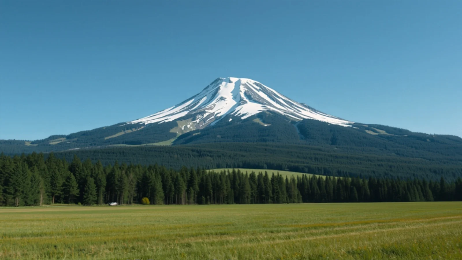
A high meadow with conifer forest below a jagged snow peak, an illustrative AI-generated image

Dayara Bugyal Trek

Easy–Moderate · 4 days · 3,650 m · Oct–Mar

Difficulty
Easy–Moderate
Maximum altitude
3,650 m (11,975 ft)
Duration
4 days (3 on trail)
Best months
Oct–Mar
Snow
Dec–Mar
Base camp
Gui (about 3,000 m)
Road head
Raithal (Barsu is an alternative start)
AMS risk
Low
Permit
Yes

Trail status Status not verified

We have not been able to confirm the current access status from an official source. Check with the Forest Department or a local operator close to your dates.

Overview

Dayara Bugyal is a high-altitude meadow above the village of Raithal in Uttarkashi district, Uttarakhand. The trek climbs through forest to Gui, then to the open grassland of the bugyal and Dayara Top, at about 3,650 m. It is one of Uttarakhand’s most approachable meadow treks, and the same route works as a snow trek in winter and a green-meadow walk from April.

Itineraries vary. The shortest is a four-day Dehradun round trip with three days on foot. Longer versions of five or six days add campsites such as Chilapada and Nayanta, and an extension to Bakaria Top, quoted at about 3,800 m.

Why do this trek?

  • One of the easiest ways into the Himalaya. Stages are short and the climbing is steady.
  • Two seasons in one trek. Snow-covered slopes from about December to March, and open green meadows from April.
  • Wide open views. The bugyal is a broad, treeless slope with a long horizon.
  • A short commitment. Only three days on foot in the standard itinerary.

Who is it for?

First-time trekkers and families with fit children (operators accept children over about 10), and experienced trekkers who want a short winter or autumn trip.

Who should think twice?

Anyone who dislikes cold nights at camp, or who expects guaranteed deep snow. Winter nights at Gui are reported at about −5°C to −11°C, and snow cover varies by year.

How we rate the difficulty

We rate Dayara Bugyal Easy–Moderate using our difficulty method.

  • Altitude: Dayara Top is about 3,650 m and the main camp at Gui about 3,000 m.
  • Effort: the first day climbs roughly 850 m in about 5 km from Raithal to Gui, which is the steepest stretch. The summit day is about 12 km round trip.
  • Terrain: forest paths and open grassy slopes, snow-covered in winter. No technical climbing.
  • Remoteness: a long road journey from Dehradun and a base village with limited facilities.
  • Cold: sub-zero nights from about December to March.

Altitude and acclimatisation

We rate AMS risk low. You sleep at Raithal (about 2,150 m) and then at Gui (about 3,000 m), and climb to 3,650 m only as a day trip from Gui. See our altitude sickness guide.

Landscape

Oak and conifer forest around Raithal and Gui, then the wide grass slopes of the bugyal, which are white in winter and green from April.

Camping and meadow rules

High-altitude meadows in Uttarakhand have been the subject of court orders limiting overnight camping and numbers, and the position has been revisited recently. We have not confirmed what currently applies at Dayara Bugyal, so ask your operator how they camp here and which permissions they hold.

Plan alongside other tools

Try Find My Trek or compare treks. For the season see December, January and March treks, or trekking in Uttarakhand.

Itinerary

  1. Day 01

    Dehradun to Raithal (drive)

    • Sleep at 2,150 m

    About 180 km, 7 to 9 hours via Uttarkashi, ending at Raithal (about 2,150 m) with a homestay night.

  2. Day 02

    Raithal to Gui

    • 5 km
    • Sleep at 3,000 m

    About 5 km, 4 to 5 hours, climbing roughly 850 m through forest to the camp at Gui, about 3,000 m.

  3. Day 03

    Gui to Dayara Top and back

    • 12 km
    • Sleep at 3,000 m
    • High point 3,650 m

    A day trip of about 12 km round trip, 7 to 8 hours, to the open meadow and Dayara Top at about 3,650 m, returning to Gui for the night.

  4. Day 04

    Gui to Raithal, drive to Dehradun

    • 5 km

    About 5 km downhill, 3 to 4 hours, then the 7 to 8 hour drive back to Dehradun. Longer itineraries add campsites at Chilapada and Nayanta.

Elevation profile

Elevation profileOvernight altitude by day: Day 1 2,150 metres, Day 2 3,000 metres, Day 3 3,000 metres (reaching 3,650 metres during the day). Highest point 3,650 metres on day 3.2,0002,5003,0003,5004,000Day 1Day 23,650 m high pointDay 3Metres above sea level
View as table
DayAltitude
12,150 m
23,000 m
33,000 m

Month by month

  • January Best time · SnowSnow on the meadow and the coldest nights. Reported night temperatures at Gui are about −5°C to −11°C.
  • February Best time · SnowPeak snow cover in some years, with cold nights.
  • March Best time · SnowSnow melts progressively. The upper meadow can stay white early in the month.
  • April PossibleGreen meadows begin, with patches of snow on higher slopes in some years.
  • May PossibleGreen and mild. Nights at camp stay above freezing in summer according to published guides.
  • June PossibleGreen and mild before the monsoon.
  • July Not recommendedMonsoon. Not recommended.
  • August Not recommendedMonsoon. Not recommended.
  • September Not recommendedSources disagree on whether September is clear or still wet. Check recent conditions.
  • October Best timeClear views and cold nights, with no snow expected.
  • November Best timeClear and cold, with the first snow possible at the top.
  • December Best time · SnowThe snow season starts, with first snowfall usually from early to mid December.

How to reach

Nearest major city
Dehradun
Nearest airport
Jolly Grant Airport, Dehradun
Nearest railway station
Dehradun Railway Station
Road head
Raithal (Barsu is an alternative start)

Raithal is roughly 180 to 185 km from Dehradun by road, about 7 to 9 hours via Uttarkashi. Operators typically pick up in Dehradun early in the morning.

Facilities and connectivity

Stay
Homestay in Raithal; shared tents at Gui
Nearest ATM
Uttarkashi is the last ATM reported on the route

Permits and rules

Operators arrange the trek permit and forest entry charges as part of the package, and a government photo ID is required. Camping rules on Uttarakhand’s high-altitude meadows have been the subject of court orders, and we have not confirmed what currently applies at Dayara Bugyal, so check with your operator.

Safety and emergencies

Winter nights at Gui are well below freezing and weather, landslides or road closures can delay the itinerary. Stay with your guide and tell the leader early about altitude symptoms.

Frequently asked questions

Is Dayara Bugyal good for beginners?

Yes. Operators describe it as Easy to Moderate, and it is one of the shorter treks, though winter cold still calls for proper kit.

How many days does Dayara Bugyal take?

The standard version is four days from Dehradun with three days on foot. Longer versions of five or six days add more campsites.

When does it snow at Dayara Bugyal?

Snow is usually present from about December to March, with the first snow in early to mid December and most snow around February.

Is camping allowed on the meadow?

Court orders have restricted overnight camping on Uttarakhand’s high-altitude meadows. We have not confirmed what currently applies, so ask your operator.

Is the Dayara Bugyal trail open right now?

We have not confirmed the current access status from an official source, so we do not show it as open. Check with your operator close to your dates.

Sources and verification

Facts checked against sources
28 October 2026
Editorial review
28 October 2026
Trail status checked
Not checked: status not verified

Where sources disagree, we say so in the text rather than choosing a number. These dates cover facts and wording only; they are not a statement that the trail is currently open.

Questions about this trek?

Send your dates and questions. We will reply by email with planning notes on conditions, permits and access. This is an enquiry, not a booking, and we do not list departures or prices here.

Conditions, permits and road access change. Check current details with official sources and local operators close to your dates.