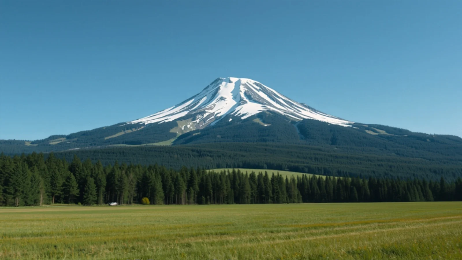
Overview
Kedarkantha is a 3,810 m (12,500 ft) summit in Uttarakhand’s Uttarkashi district, climbed from the village of Sankri inside Govind National Park (also known as Govind Pashu Vihar). It is best known as a winter snow trek: four days on foot through forest, past the pond at Juda ka Talab and up to an open base camp, followed by a pre-dawn push to the top.
It is commonly chosen as a first Himalayan trek, and for good reason: the daily distances are short and no technical climbing is involved. But winter snow, sub-zero nights and consecutive days of walking mean that basic fitness and proper cold-weather kit are still essential.
Why do this trek?
- Snow without technical climbing. Snow is commonly present on the route from December to March, deepest in January and February, and the trail needs no ropes or mountaineering skills.
- Short walking days. The two ascent days cover about 4 km and 2.5 to 4 km, and summit day is the longest at roughly 6 to 8 km round trip. The effort is concentrated in the first climb and the summit push.
- A long season. Outside the snow months the trail is largely green from April to June, and October and November bring clear skies and cold nights.
- A real summit. The top is a broad open ridge that rewards the early start with a wide view over the surrounding high Himalaya.
Who is it for?
Kedarkantha suits first-time Himalayan trekkers who can walk 5 to 6 km comfortably and are willing to spend nights in a tent below freezing, and more experienced trekkers who want a short winter trek close to a road head. Operators regularly take school-age children and families, but the cold and the pre-dawn summit start make it a decision to be made with the specific child in mind.
Who should think twice?
Anyone who is unwell, has a heart or respiratory condition, or is unused to sustained cold should talk to a doctor before booking. It is also a poor choice for people who dislike very early starts, since the summit attempt typically begins between 2 and 3:30 AM, and for anyone expecting guaranteed snow: depth varies from year to year, and early or late in the season the upper trail can be bare.
How we rate the difficulty
We rate Kedarkantha Easy–Moderate using our difficulty method. The reasoning:
- Altitude: the summit is 3,810 m and the highest camp about 3,430 m, which is moderate for a Himalayan trek.
- Steepest effort: the first trekking day climbs roughly 800 m in about 4 km from Sankri to Juda ka Talab. This is the stage most trekkers find hardest.
- Summit day: the climb from base camp is about 380 m, but it starts in the dark in sub-zero temperatures, takes 6 to 8 hours round trip, and is followed by a descent of more than 1,000 m to Hargaon.
- Terrain and exposure: forest paths, snow slopes and some ice. Technical difficulty is low, but traction on snow matters.
- Remoteness: there is no mobile network on the trail, and the nearest big city is Dehradun, a long day’s drive away.
- Cold: reported night temperatures at base camp in the snow season run from about −10°C to −16°C, and lower in cold spells.
Together these keep it well below the Moderate grade of longer pass-crossing treks, but the cold and the summit day mean it is not a casual walk.
Fitness and preparation
Operators typically suggest being able to jog about 4 km in around 25 minutes and to walk 5 to 6 km comfortably, with stamina and leg-strength training started four to six weeks ahead. Stair climbing and downhill-friendly leg work help for the long descent on summit day.
Altitude and acclimatisation
We rate the AMS risk moderate rather than low. Sleeping altitude rises by about 650 m between Juda ka Talab and base camp, which is more than the 300 to 500 m a day commonly advised above 3,000 m, and standard itineraries have no dedicated acclimatisation day. Serious altitude illness is uncommon at this height, but headache, nausea and poor sleep are plausible. Read our altitude sickness guide, drink steadily, tell your guide early about symptoms, and descend if they worsen.
Landscape and wildlife
The route climbs through oak and conifer forest, then opens into snow-covered clearings and a broad base camp slope. The park’s official profile lists black bear, common leopard and serow among the animals found in Govind National Park; they are rarely seen by trekkers and should not be counted on.
Route variations
Most itineraries go Sankri, Juda ka Talab, Kedarkantha base camp, summit, then down to Hargaon and back to Sankri. Some retrace the outbound route, and some use alternative campsites such as Akroti Thach or Pukhrola. Published distances for individual stages differ by 1 to 2 km between sources, so we show the stage lengths that sources agree on and give ranges for the rest.
What to pack
Pack for cold nights rather than cold days. Operators commonly recommend a sleeping bag rated to at least −10°C, layered insulation, waterproof outer layers, warm gloves and a hat, and sturdy trekking boots. Carry your own water bottle. Check what traction and tents your operator supplies before you buy anything.
Responsible trekking
Carry all rubbish back to Sankri, follow forest rules on fires, and stay with your group when the guide holds you for weather. Operators report that alcohol and smoking are not allowed on the trek.
Plan alongside other tools
Weighing it against other options? Try Find My Trek or compare treks side by side. For the season, see our guides to December, January and February treks, or browse trekking in Uttarakhand.