Overview
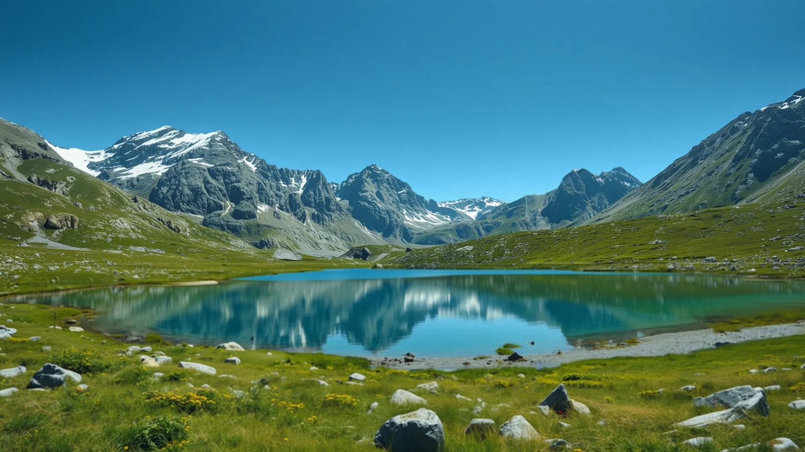
The Kashmir Great Lakes trek is a point-to-point traverse in the Kashmir Himalaya, from near Sonamarg to Naranag. Over about six days on foot it passes a chain of alpine lakes, including Vishansar, Kishansar, Gadsar, Satsar and Gangabal, and crosses three passes: Nichnai, Gadsar and Zaj. Gadsar Pass is the highest point at about 4,190 m. The trek is usually run as seven days from Srinagar.
Why do this trek?
- A lake after lake. A string of alpine lakes in a short traverse.
- Three passes. Nichnai, Gadsar and Zaj each add a different kind of climb.
- A real traverse. It starts and ends at different road heads, so there is no back-tracking.
- Summer window. Operators run it from July to September when the meadows are green.
Who is it for?
Fit trekkers with some previous Himalayan experience who are ready for several consecutive long days. Operators vary: one rates it Moderate to Difficult, another calls it Moderate, and one FAQ describes it as suitable for beginners.
Who should think twice?
First-time trekkers, anyone uncomfortable with long days of 7 to 9 hours, and people with heart, blood pressure or respiratory conditions. One operator lists health criteria and exclusions for the trek.
How we rate the difficulty
We rate the Kashmir Great Lakes Moderate to Difficult using our difficulty method.
- Altitude: three passes between about 4,000 m and 4,190 m, with camps at roughly 3,500 to 3,700 m.
- Effort: published day lengths are about 11 to 14 km, and the whole route is about 68 to 71 km on foot over six days.
- Terrain: steep pass ascents and descents, boulder sections and river crossings.
- Remoteness: the route has few exits between Shitkadi and Naranag, and trekkers pass army check points.
- Cold: temperature figures in published sources conflict, so we do not state them.
Altitude and acclimatisation
We rate AMS risk moderate. Camps stay between about 3,500 and 3,700 m but each day includes a pass or a steep climb. See our altitude sickness guide.
ID checks and permits
Two operators say trekkers must carry original photo ID, which is checked at army posts on the route. One of them says permit fees are included in the package and that foreign nationals pay trekking fees separately. We could not confirm the rules from an official source.
Why we do not draw an elevation profile
Published camp altitudes differ by more than 10 percent for Vishansar and Gadsar, so we do not plot them. Gadsar Pass at about 4,190 m is consistent across three sources.
Plan alongside other tools
Use Find My Trek or compare treks. Related: Tarsar Marsar and trekking in Kashmir. Season: August.