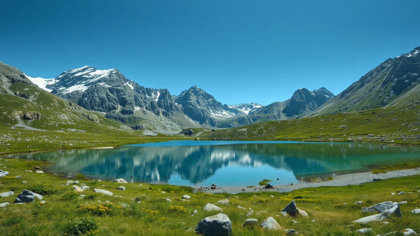
A still turquoise alpine lake in a high meadow beneath rocky snow-dusted peaks, an illustrative AI-generated image

Tarsar Marsar Trek

Moderate · 7 days · 4,020 m · Jul–Sep

Difficulty
Moderate
Maximum altitude
4,020 m (13,189 ft)
Duration
7 days (6 on trail)
Best months
Jul–Sep
Base camp
Aru village near Pahalgam
Road head
Aru village
AMS risk
Moderate
Mobile network
None on trail

Trail status Status not verified

We have not been able to confirm the current access status from an official source. Check with the Forest Department or a local operator close to your dates.

Overview

Tarsar Marsar is a circuit trek in the Kashmir Himalaya that starts and ends at Aru, near Pahalgam. It climbs through the Lidderwat valley to Shekwas, then passes the twin lakes of Tarsar and Marsar and the camp at Sundarsar before returning to Aru by way of Homwas. The highest point is at about 4,020 m. Operators run it as seven days from Srinagar, including two days of driving.

Why do this trek?

  • Lakes without a long pass. The route links Tarsar, Sundarsar and Marsar without a major technical crossing.
  • A circuit. It starts and ends at Aru, so there is no long shuttle.
  • Alpine meadows. The route passes through forest, meadows and high ridges in July and August.
  • Less crowded than some Kashmir treks. Operators describe it as quieter than the Great Lakes route, though we have no visitor counts.

Who is it for?

Fit trekkers who have done at least one Himalayan trek and want a quieter lake circuit. Published guides rate it Easy to Moderate or Moderate, and one recommends previous experience on shorter Moderate treks.

Who should think twice?

Complete beginners, people who need mobile coverage on the trail, and anyone who cannot manage 5 to 7 hour days on consecutive days with some rough, boulder-filled paths.

How we rate the difficulty

We rate Tarsar Marsar Moderate using our difficulty method.

  • Altitude: the highest point is about 4,020 m, and camps stay between about 2,400 m and 4,000 m.
  • Effort: published totals are 46 to 51 km on foot, with days of 4 to 13 km taking 3 to 7 hours.
  • Terrain: forest, meadow, boulders and a steep final descent.
  • Remoteness: cell coverage is reported as almost nonexistent beyond Pahalgam.
  • Cold: published night temperatures disagree, so we do not state them.

Altitude and acclimatisation

We rate AMS risk moderate. The route gains height steadily from Aru to the lakes, and operators rarely schedule a dedicated acclimatisation day. See our altitude sickness guide.

Permits

All three operators we checked include forest permits and fees in the package for Indian nationals, with extra charges for foreigners. We could not confirm the rules from an official source, so we do not state a permit requirement.

Why we do not draw an elevation profile

Published camp altitudes differ by 1 to 2 percent between sources, and the highest point ranges from about 4,010 m to 4,200 m, so we leave out the elevation profile.

Plan alongside other tools

Use Find My Trek or compare treks. Related: Kashmir Great Lakes and trekking in Kashmir. Season: August.

Itinerary

  1. Day 01

    Srinagar to Aru (drive)

    About 100 to 104 km, 3 to 4 hours, via Pahalgam.

  2. Day 02

    Aru to Lidderwat

    About 8 to 10 km, 3 to 7 hours depending on the source, through pine forest.

  3. Day 03

    Lidderwat to Shekwas

    • 6 km

    About 6 km, 3 to 5 hours, with a steep start and a gentler second half.

  4. Day 04

    Shekwas to Tarsar Lake

    About 4 to 5 km, 2 to 5 hours, to the camp at Tarsar Lake (about 3,800 m).

  5. Day 05

    Tarsar to Sundarsar

    • 6 km

    About 6 km, 3 to 5 hours, climbing to a ridge and descending to Sundarsar.

  6. Day 06

    Sundarsar via Marsar to Homwas

    About 9 to 11 km, 4 to 7 hours, passing Marsar Lake and continuing over the ridge to the camp at Homwas (about 3,500 m).

  7. Day 07

    Homwas to Aru and drive to Srinagar

    • 13 km

    About 13 km, 6 to 7 hours, followed by the 3 to 4 hour drive to Srinagar.

Month by month

  • January Not recommendedClosed by winter snow.
  • February Not recommendedClosed by winter snow.
  • March Not recommendedClosed by winter snow.
  • April Not recommendedClosed by winter snow.
  • May Not recommendedClosed by snow.
  • June Not recommendedOne source lists June as the start of the season; most operators begin in July.
  • July Best timeSeason begins, with snow possible on the higher sections.
  • August Best timeGreen meadows and the most settled weather.
  • September Best timeClear days. The season ends early in the month, per one operator.
  • October Not recommendedCold and out of season.
  • November Not recommendedClosed by winter snow.
  • December Not recommendedClosed by winter snow.

How to reach

Nearest major city
Srinagar
Nearest airport
Sheikh ul Alam International Airport, Srinagar
Nearest railway station
Jammu Tawi, then road to Srinagar
Road head
Aru village

Srinagar to Aru is about 100 to 104 km, 3 to 4 hours by road via Pahalgam, and the same drive is used on the return.

Facilities and connectivity

Stay
Hotels in Srinagar or Pahalgam; tents on the trail
Mobile network
None on the trail

Permits and rules

Three operators say forest permits and fees are included in the package for Indian nationals, with extra charges for foreigners. We could not confirm the rules from an official source.

Safety and emergencies

Rough boulder sections and a steep final descent. Stay with your leader in poor visibility.

Frequently asked questions

Is Tarsar Marsar good for beginners?

Published guides call it Easy to Moderate or Moderate. We rate it Moderate and suggest some previous trekking experience.

How high is it?

The highest point is about 4,020 m, though sources range from about 4,010 m to 4,200 m.

When is the best time to go?

July to September, with most operators starting in July.

Do I need a permit?

Operators include permits in the package. We could not confirm the rules from an official source.

Is the trail open right now?

We have not confirmed current access, so we do not show it as open.

Sources and verification

Facts checked against sources
28 October 2026
Editorial review
28 October 2026
Trail status checked
Not checked: status not verified

Where sources disagree, we say so in the text rather than choosing a number. These dates cover facts and wording only; they are not a statement that the trail is currently open.

Questions about this trek?

Send your dates and questions. We will reply by email with planning notes on conditions, permits and access. This is an enquiry, not a booking, and we do not list departures or prices here.

Conditions, permits and road access change. Check current details with official sources and local operators close to your dates.