
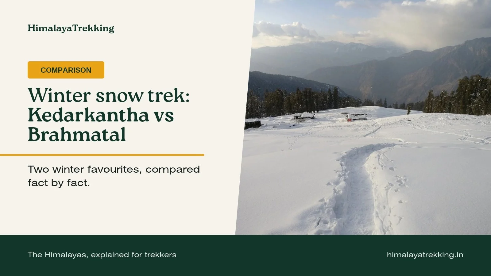
If you want a single clear summit and a shorter overall trip from Dehradun, Kedarkantha is the more direct choice. If you would rather sleep lower, camp by forest lakes and walk a long ridge, Brahmatal suits you better. Both are winter snow treks in Uttarakhand, both have four days on foot, and we rate both Easy to Moderate. The real differences are in sleeping altitude, cold, how the days are shaped and how you get to the trailhead. Every trek figure below comes from the verified fields on our Kedarkantha and Brahmatal pages.
Kedarkantha vs Brahmatal at a glance
| Kedarkantha | Brahmatal | |
|---|---|---|
| Nearest city | Dehradun | Rishikesh |
| Base / road head | Sankri | Lohajung (about 2,300 m) |
| Highest point | 3,810 m | 3,750 m |
| Highest campsite | 3,430 m | 3,200 m |
| Trekking days / full trip | 4 / 5 days | 4 / 6 days |
| Our difficulty rating | Easy to Moderate | Easy to Moderate |
| Technical difficulty | Low | Low |
| AMS risk (our rating) | Moderate | Low |
| Best months | Nov–Apr | Dec–Apr |
| Usual snow months | Dec–Mar | Dec–Feb |
| Mobile network on trail | None | None |
On paper the two look almost identical: summits within 60 m of each other, the same rating, the same four trekking days. The choice usually comes down to the questions below.
Altitude and AMS: why the ratings differ
The high points are close, but where you sleep is not. On Kedarkantha the third night is spent at the base camp at about 3,430 m, after climbing roughly 650 m from Juda Ka Talab (about 2,774 m) that day. On Brahmatal the highest camp sits at about 3,200 m, and you sleep there for two nights while the summit is climbed as a return walk.
Sleeping altitude matters more for acute mountain sickness than the highest point you touch, which is why we rate the AMS risk on Kedarkantha as Moderate and on Brahmatal as Low. Neither rating means you are immune. Headache, nausea and unusual tiredness should be reported to your trek leader early on either route. Our altitude sickness guide explains the symptoms and when descent is the answer.
How the trekking days are shaped
Kedarkantha: short stages, one big day
The trek covers about 24 km. The first two walking days are short, about 4 km each, from Sankri to the lakeside camp at Juda Ka Talab and then up to the base camp. The fourth day is the defining one: a pre-dawn start, the climb to the 3,810 m summit, then a descent all the way back to Juda Ka Talab, about 12 km in total. Summit attempts typically begin between 2 and 3:30 AM in the dark, in sub-zero cold. The last day is a short walk down to Sankri and the drive back to Dehradun.

Brahmatal: forest, lakes and a long way down
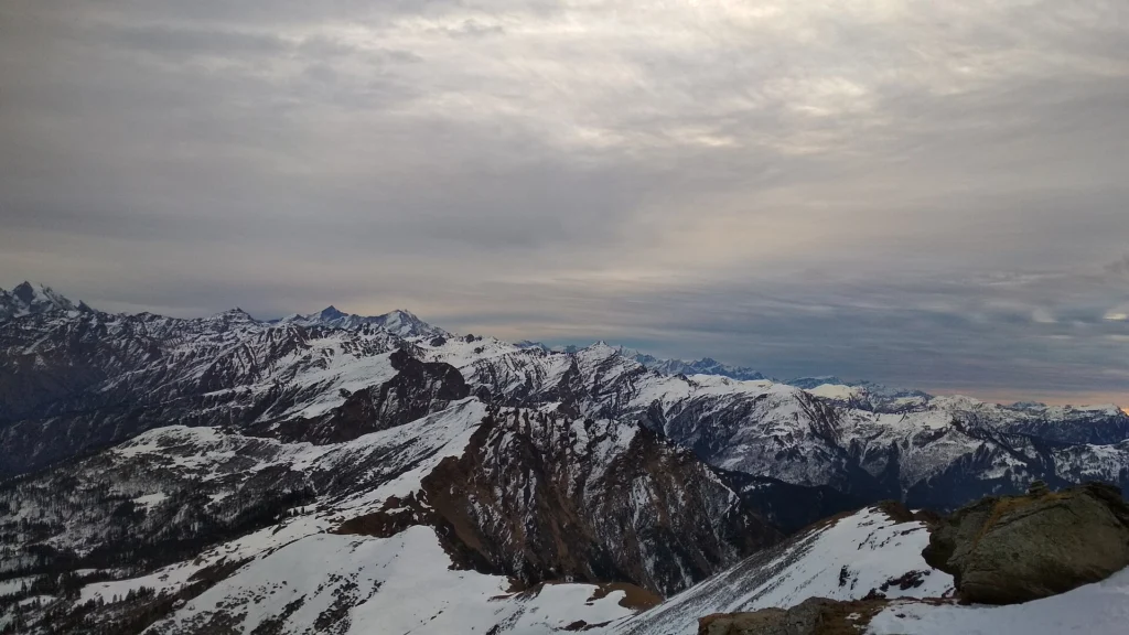
From Lohajung the first day climbs through forest for about 4 to 6 km, four to five hours, to a camp beside Bekaltal or near Gujreni, at roughly 2,800 to 3,010 m depending on the campsite. Day three is the longest climb, about 8 km in some itineraries, crossing the Jhandi Top ridge at about 3,400 m before dropping to the Brahmatal camp at roughly 3,100 to 3,260 m. Day four is the summit, about 3,750 m, as a return walk of 4 to 6 km, with a second night at the same camp.
The day people tend to underestimate is the fifth: a descent of about 10 to 11 km, seven to eight hours, back to Lohajung. On snow or ice that is hard on the knees, so trekking poles and microspikes matter here as much as on any summit push. Two operator routes (via Bekaltal or via Gujreni and Tilandi) are in use, which is why camp altitudes vary slightly between itineraries.

Snow and cold
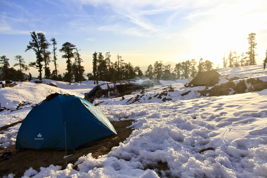
Both trails usually carry snow from December. Kedarkantha’s snow season tends to run a little longer, into March, while Brahmatal’s usual snow months are December to February. No season is guaranteed, and early-winter snow in particular varies a great deal from year to year.
Operator-reported night temperatures differ more than you might expect. At the Kedarkantha base camp they are about −10°C to −16°C from December to February, lower in cold spells. On Brahmatal they are about 0°C to −8°C in winter. These are estimates from different campsites at different heights, so treat them as a guide to the gap rather than a forecast. In practice, Kedarkantha asks more of your sleeping bag and layers. Our packing list for Himalayan treks covers both.
Getting to the trailhead
Both treks are reached through Jolly Grant Airport in Dehradun, but the road journeys differ. For Kedarkantha, Sankri is roughly 200 km from Dehradun (some itineraries quote up to about 240 km), eight to ten hours via Mussoorie, Purola, Mori and Naitwar. Purola is the last ATM commonly reported, so carry cash from Dehradun.
For Brahmatal, Lohajung is about 250 km from Rishikesh, eight to twelve hours depending on road and weather. Most operators run a shared transfer from Rishikesh at around 6 AM, so plan to arrive the day before, and withdraw cash in Rishikesh because ATMs along the route are described as unreliable. The return drive takes a full day too, which is why Brahmatal is a six-day trip against five for Kedarkantha.
Permits and paperwork
Both treks need permits. Kedarkantha lies inside Govind National Park, which the Uttarakhand Forest Department describes as being in Uttarkashi district, and every trekker needs a forest entry permit. Operators usually arrange it; independent trekkers obtain it at the forest check post in Sankri with original government photo ID. For Brahmatal, operators obtain the local and forest permissions as part of the package, and you will need a government photo ID such as Aadhaar, PAN or a voter ID.
We have not been able to confirm current permit fees for either trek from an official source, so we do not quote them. Ask your operator, or the Sankri check post for Kedarkantha, before you travel.
Which one should you choose?
Choose Kedarkantha if:
- you want one clear summit goal and short stages before it;
- you have five days rather than six, and Dehradun is easier for you to reach;
- you are comfortable with very cold nights and a summit start in the small hours;
- you want a November trip, which is within Kedarkantha’s best months but not Brahmatal’s, or snow in March, after Brahmatal’s usual snow months end.
Choose Brahmatal if:
- you would rather sleep lower, with a Low AMS rating and two nights at the same camp;
- you like forest and lake camps and a long ridge walk more than a single open base camp;
- you prefer milder (though still sub-zero) winter nights;
- you can give it six days and are ready for a long final descent.
On fitness, operators suggest that Kedarkantha trekkers can jog about 4 km in around 25 minutes and walk 5 to 6 km comfortably, starting preparation four to six weeks ahead. We have no verified benchmark for Brahmatal, but its longer descent day makes a similar standard sensible.
Planning for this winter
Kedarkantha’s best months on our page begin in November and Brahmatal’s in December, so most trekkers deciding between the two now are choosing December or January dates. Mountain weather can change plans at short notice. In October 2025 the Chamoli district disaster management office directed the tourism and forest departments to suspend trekking for two days ahead of forecast rain and high-altitude snowfall, as reported by ThePrint. Check the district forecasts from the India Meteorological Department in the days before you travel, and keep a buffer day in your travel plans on either side of the trek.
Frequently asked questions
Which is easier, Kedarkantha or Brahmatal?
We rate both Easy to Moderate with low technical difficulty. Brahmatal has the lower sleeping altitude and a Low AMS rating; Kedarkantha has a Moderate AMS rating and colder nights. Brahmatal’s hardest day is its long descent, Kedarkantha’s is the pre-dawn summit day.
Which has more snow?
Both usually have snow from December. Kedarkantha’s usual snow months run to March and Brahmatal’s to February. Snow varies by year, so confirm conditions with your operator close to your dates.
Can I do Kedarkantha in November?
November is within Kedarkantha’s best months on our page, but it falls before its usual snow months. Expect cold, clear conditions rather than a snow trek, unless an early fall arrives.
Do I need a permit for these treks?
Yes. Kedarkantha needs a forest entry permit for Govind National Park, and Brahmatal needs local and forest permissions. Operators usually arrange both; carry original government photo ID.
Is there mobile network on the trail?
No. Neither trail has mobile network, so share your itinerary and your operator’s contact details with family before you leave the road head.
Compare more treks
Read the full Kedarkantha trek guide and Brahmatal trek guide for itineraries, safety notes and sources. To set these two against other winter options side by side, use Compare Treks, or answer a few questions in Find My Trek to get a shortlist matched to your month, days and experience.
HimalayaTrekking is an independent information site. We do not run treks; confirm current conditions, permits and fees with your operator or the local forest office before you book.